Fort Snelling State Park
State ParkAbout Fort Snelling State Park
Fort Snelling State Park spans bottomland forest, backwater lakes, and river bluffs where the Mississippi and Minnesota rivers meet, land long considered sacred by the Mdewakanton Dakota. Opened in 1962 near the historic 1820 fort now run as a museum, it draws about 400,000 visitors a year, with 18 miles of hiking trails and 18 miles of cross-country ski trails.
Gear rentals nearby
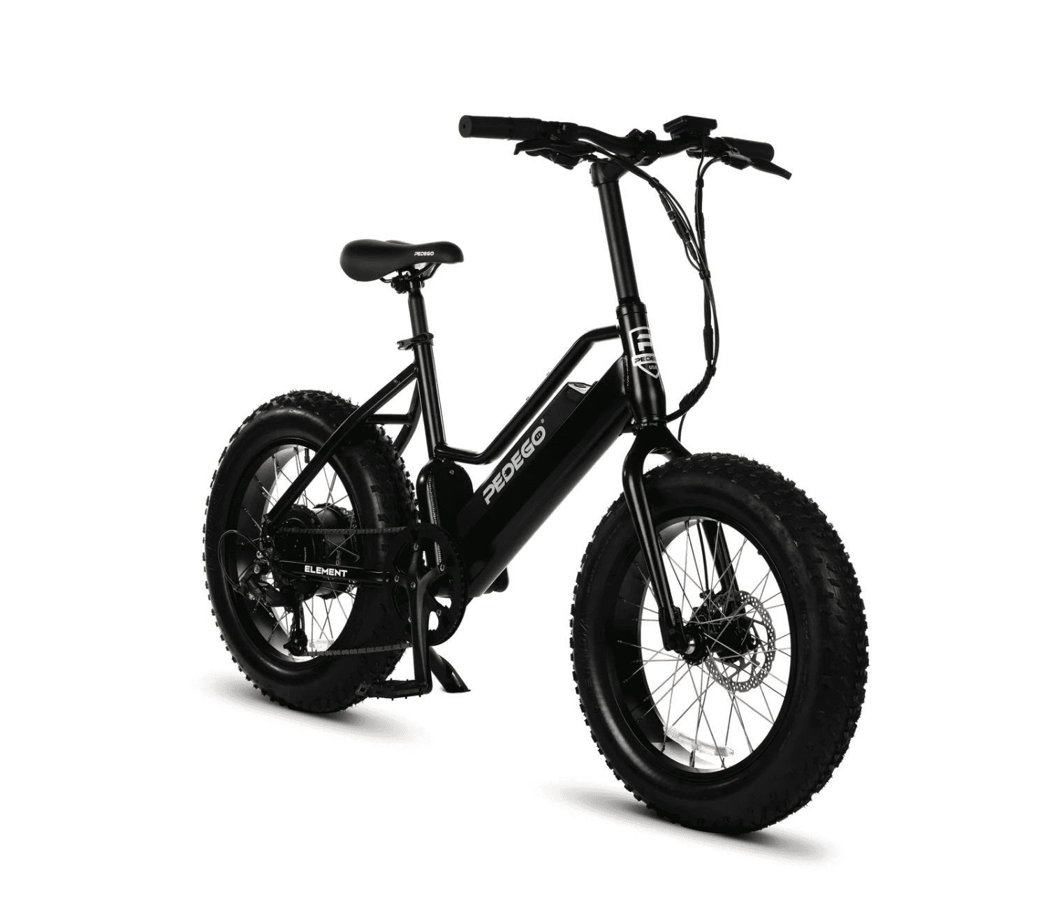
Element Fat Tire
$100.00 / day
1.9 mi away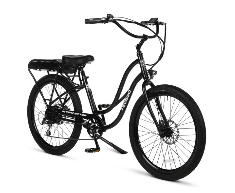
Interceptor Step Thru 24"
$100.00 / day
1.9 mi away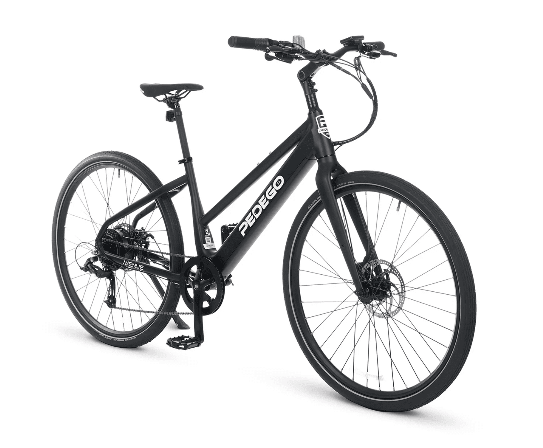
Pedego Avenue Step Thru
$100.00 / day
1.9 mi away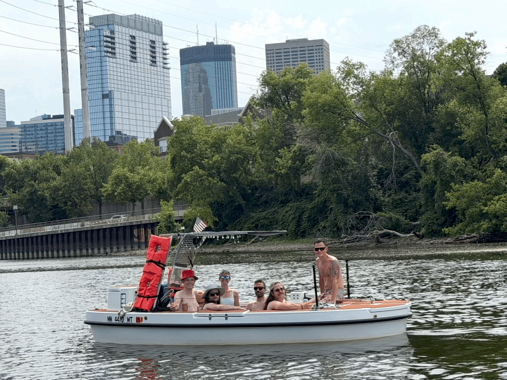
Hot Tub Boat Rental
$200.00 / hr
8.6 mi away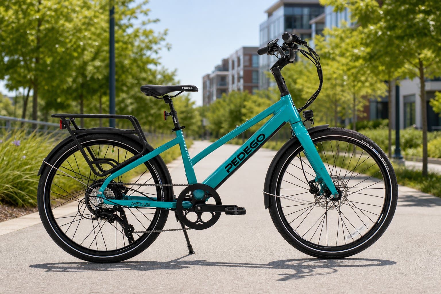
DEMO - Pedego Avenue Core 26″ Step-Through Electric Bike
$180.00 / day
9.3 mi away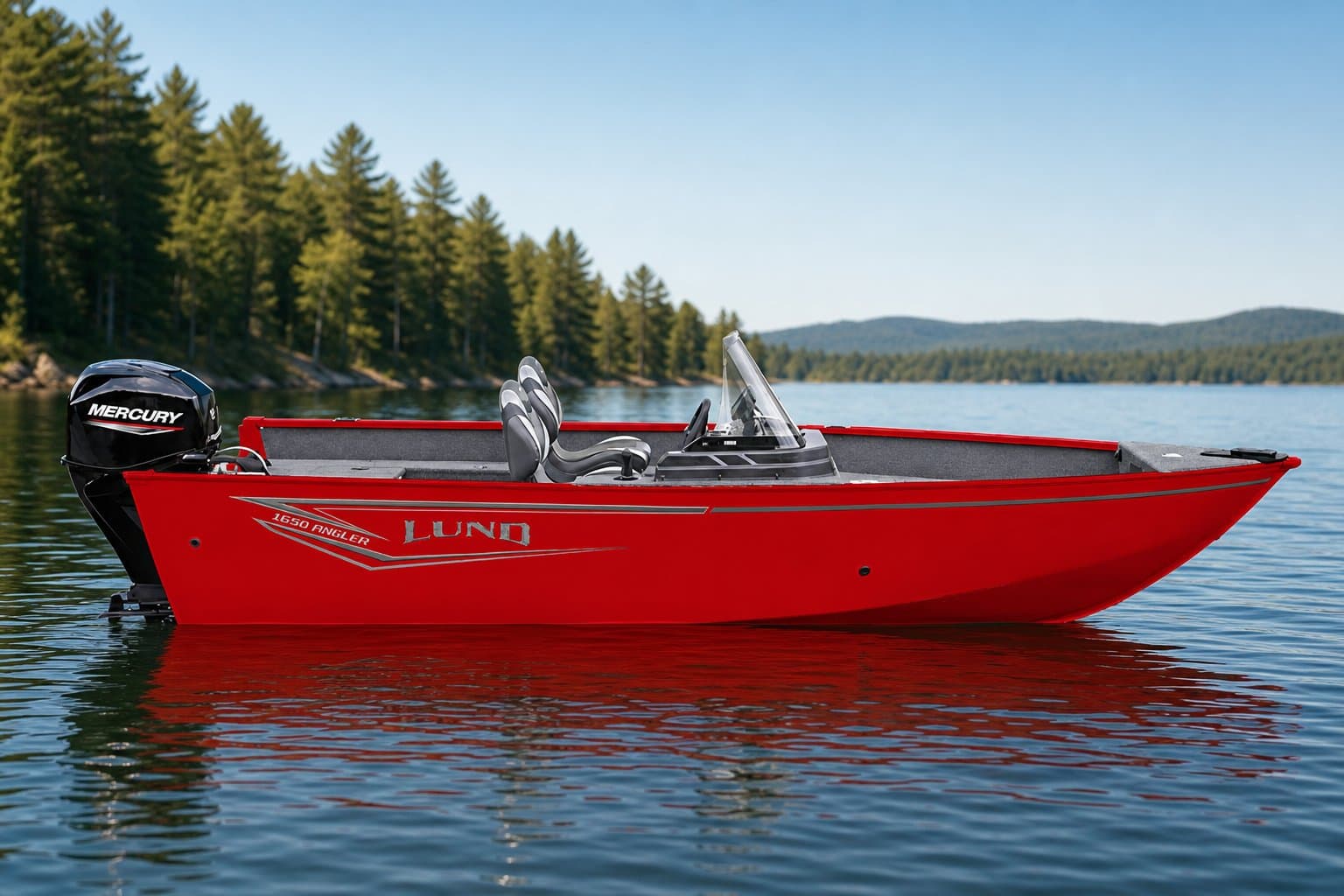
DEMO - Lund 1650 Angler SS
$495.00 / day
9.3 mi away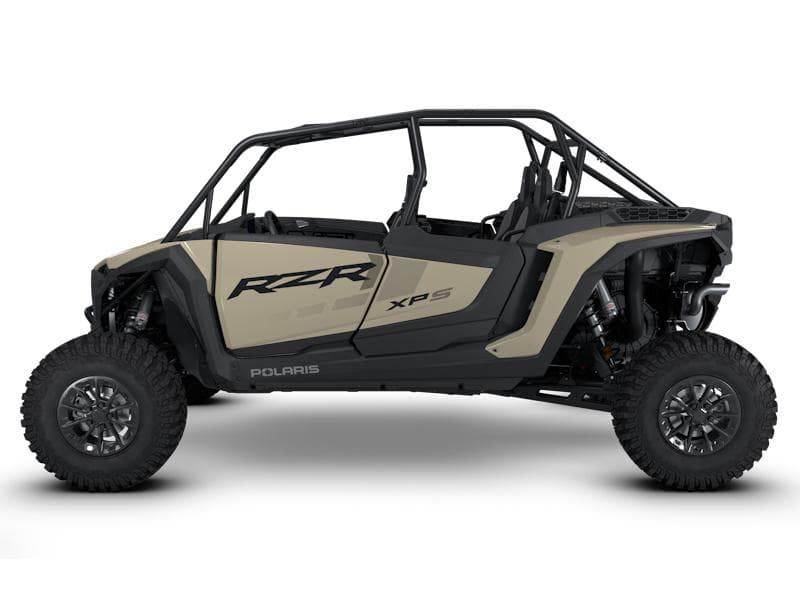
DEMO - Polaris RZR XP 1000 Side-by-Side
$329.00 / day
9.3 mi away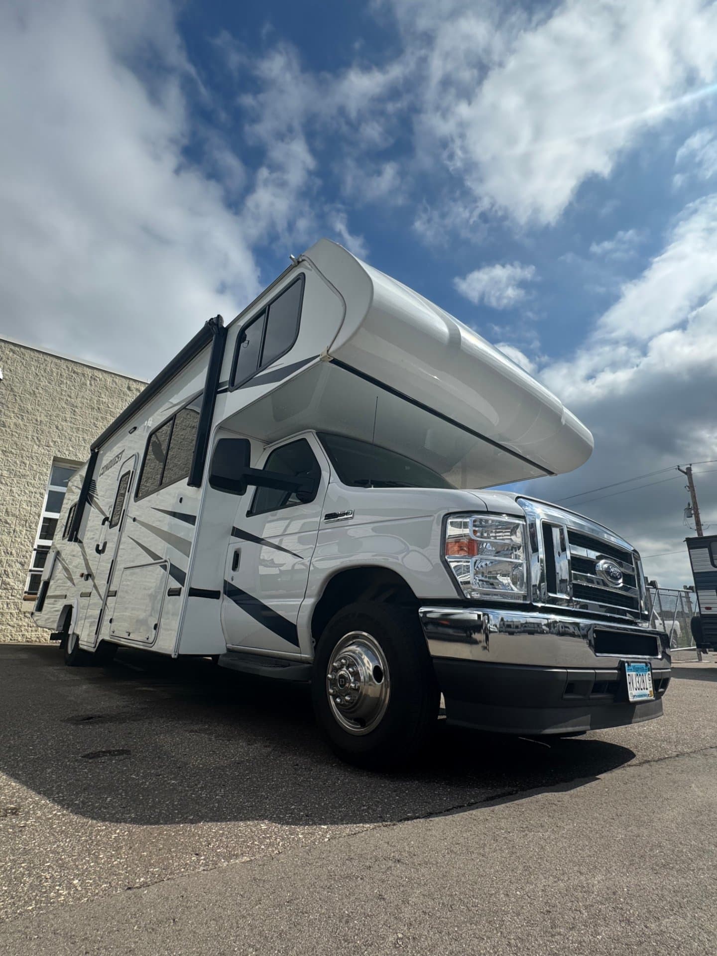
28' Class C Motorhome Rental
$297.00 / day
12 mi awayInterceptor Step Thru 24"
$100.00 / day
14 mi awayElement Fat Tire
$100.00 / day
14 mi awayPedego Avenue Step Thru
$100.00 / day
14 mi awayExperiences nearby

Nearby destinations
Location data © OpenStreetMap contributors, available under the Open Database License (ODbL). Park information courtesy of the Minnesota Department of Natural Resources.